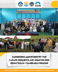
Padang, Indonesia — September 2025
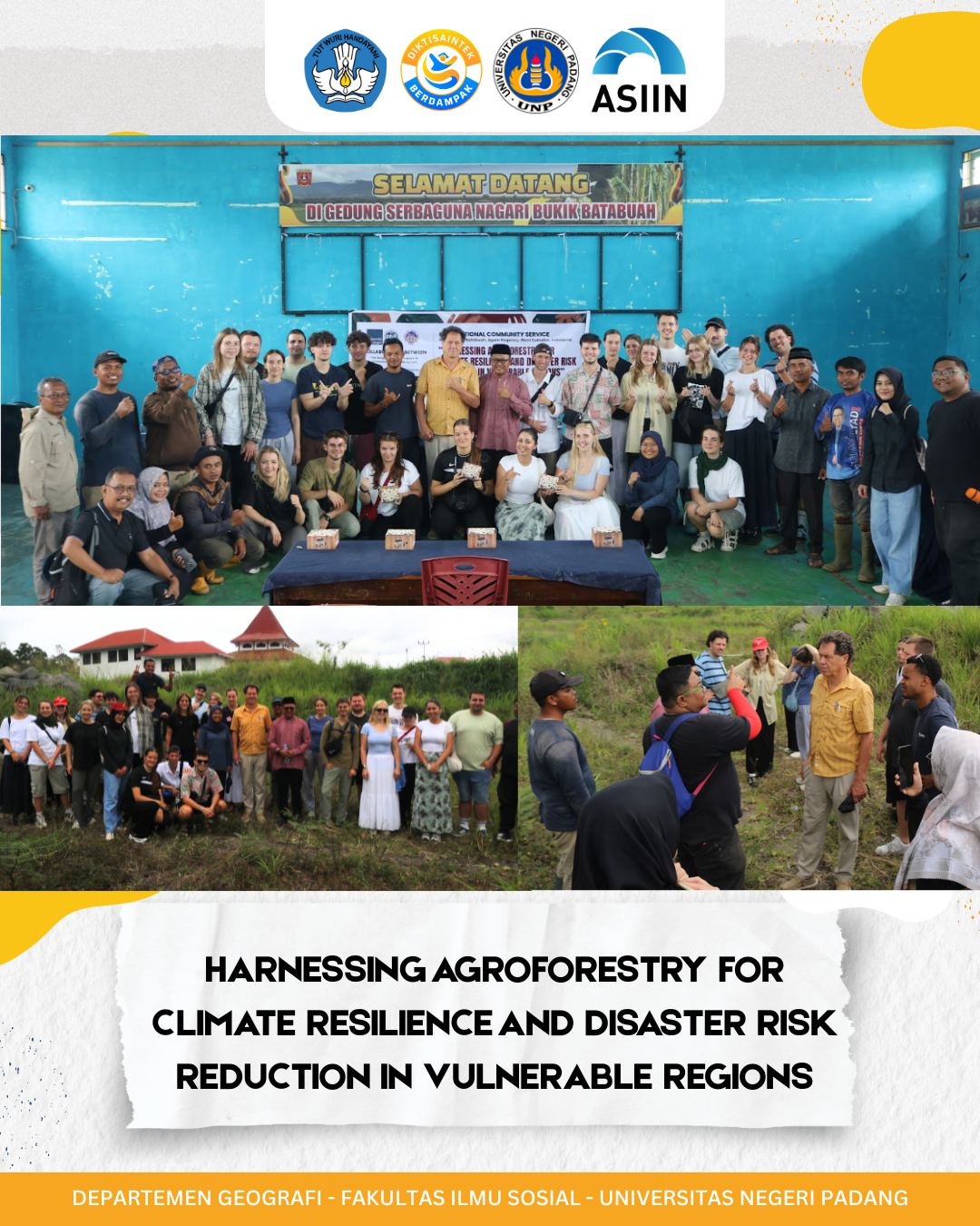
An international community service initiative led by the Geography Study Program, Faculty of Social Sciences, Universitas Negeri Padang (UNP), is making significant strides in empowering local communities through the integration of smart agroforestry and geospatial technology. The program is designed to support teachers and students in partner villages as they prepare for national science competitions, while also promoting sustainable land use and environmental resilience.
The program is structured around three core activities:
- Identifying Community Needs and Objectives
A comprehensive assessment is conducted to determine the training needs of educators and students, focusing on technological literacy, geospatial understanding, and competition readiness. - Training Planning and Socialization
Based on the assessment, a detailed training plan is developed, including materials, methods, schedules, and resources. This phase involves active collaboration with community partners to ensure relevance and effectiveness. - Continuous Monitoring and Evaluation
The implementation is followed by ongoing evaluation, incorporating feedback to refine the training and ensure long-term impact. This includes the creation of national-level articles and collaborative assessments of teaching materials.
The program is led by Dr. Febriandi, S.Pd., M.Si., an expert in Geographic Information Systems and agroforestry. The team includes academic staff and students from UNP, as well as international partners such as Prof. Boris Braun and Ajeng Larasati from the University of Cologne, and local leaders like Firdaus, Wali Nagari Bukik Batabuah., Agam Regency
Each team member contributes specific expertise, ranging from geology and geomorphology to instructional media and spatial analysis. Their roles are crucial in designing educational content, conducting spatial research, and facilitating community engagement.